 |
 |
 |
 |
 |
 |
 |
 |
 |
 |
 |
 |
 |
 |
 |
 |
 |
 |
 |
 |
 |
 |
 |
 |
 |
 |
 |
 |
 |
 |
 |
 |
 |
 |
 |
 |
 |
 |
 |
 |
 |
 |
 |
 |
 |
 |
 |
 |
 |
 |
 |
 |
 |
 |
 |
 |
 |
 |
 |
 |
 |
 |
 |
 |
 |
 |
 |
 |
 |
 |
 |
 |
 |
 |
 |
 |
 |
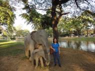 |
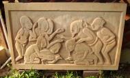
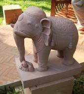
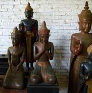
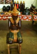
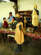
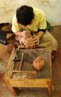
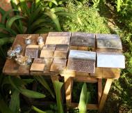
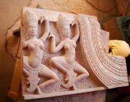
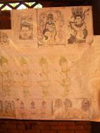
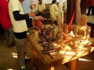
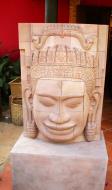
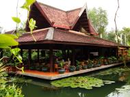
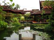
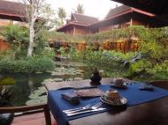
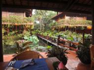
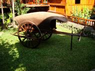
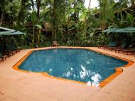
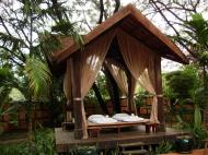
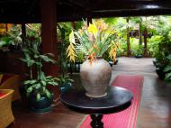
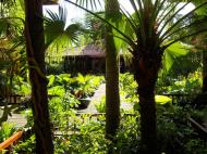
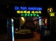
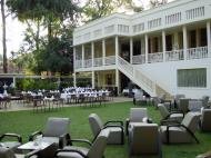
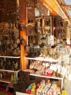
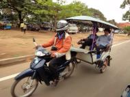
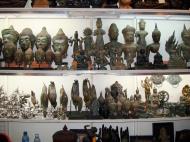
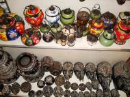
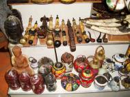
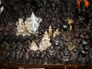
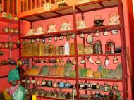
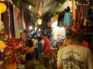
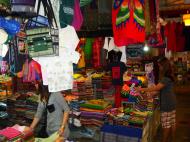
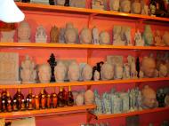
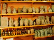
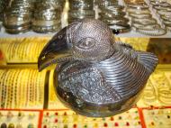
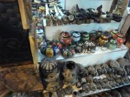
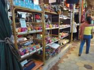
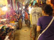
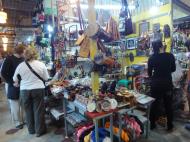
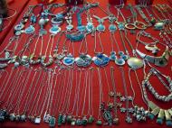
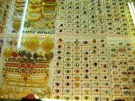
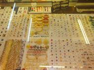
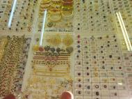
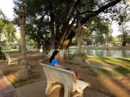
Some of my mixed photo's of Siem Reap
Siem Reap, is a province located in northwestern Cambodia, on the shores of the Tonle Sap lake. The province came under the control of the Thai kingdom of Ayutthaya and was later returned to Cambodia in 1907 after French gunboat diplomacy pressured Thai concession of the area.
The area became part of a disputed territory between France and Siam (now Thailand) which led to the Franco-Thai War in 1941, resulting in victory for Thailand and a return back to Thai control. The province again reverted to Cambodia in 1946, after the end of WW2 and French diplomatic pressure. Today it is best known for the ruined temples of Angkor.
Located in northwest Cambodia, Siem Reap is a major tourist hub in Cambodia. The most recognizable of the temples, Angkor Wat, literally Capital Temple, was built by King Suryavarman II during the early 12th century. Other sites of interest near Siem Reap include Angkor Thom built by Jayavarman VII, Banteay Srei, Ta Prohm, as well as hundreds of other temple ruins. Angkor, and the surrounding area that would later become known as Siem Reap, faced repeated invasions from the Thais, and ceased to be the capital after a seven-month siege in 1431. The capital was moved to Phnom Penh in 1432, and then to Lovek and Oudong, before moving back to Phnom Penh in 1866. The temple ruins were visited by Western explorers and missionaries before the 19th century, but Henri Mouhot is generally seen as having 'discovered or really re-discovered' Angkor Wat in 1860.
Subdivisions
The province is subdivided into 12 districts, 100 communes and 907 villages.
1701 ĀĀ Angkor Chum
1702 ĀĀ Angkor Thom
1703 ĀĀ Banteay Srei
1704 ĀĀ Chi Kraeng
1706 ĀĀ Kralanh
1707 ĀĀ Puok
1709 ĀĀ Prasat Bakong
1710 ĀĀ Siem Reap
1711 ĀĀ Sout Nikom
1712 ĀĀ Srei Snam
1713 ĀĀ Svay Leu
1714 ĀĀ Variin
Siem Reap International Airport, Siem Reap, Cambodia Map
 Editor for Asisbiz: Matthew Laird Acred
If you love our website please add a like on facebook
Please donate so we can make this site even better !!